A company founded by a UVA alum, with seed funding from the University’s Licensing & Ventures Group, makes satellite images more useful to researchers. (Photo illustration by Emily Faith Morgan, University Communications)
When Russia invaded Ukraine in February, University of Virginia alumnus Brendan Richardson and his team acted quickly. In less than a week, the cofounder of Astraea – a geospatial analytics start-up company based in Charlottesville – spearheaded an effort to provide a free satellite imagery platform that could be used by Ukraine’s Ministry of Defense, as well as civilians and a host of humanitarian organizations working in the country.
This platform was no ordinary one.
Built specifically for Ukraine with Astraea’s patented earthAI technology, which uses machine learning, big data computing and Earth-observing satellites to collect massive amounts of satellite data that even the likes of Google Earth have yet to reel in, it enabled Ukrainians under attack to view high-resolution images that were taken as recently as the day before.
There is no telling how many lives the cloud-based platform – called the “Ukraine Observer” – saved, and continues to save, as the war continues.
Alumnus Brendan Richardson co-founded Astraea in 2016. (Contributed photo)
“It was incredibly personal for us to find a way to help the country at large,” said Richardson, a longtime entrepreneur, “but also people we work with and talk to every day and care deeply about since we have a significant number of our engineering staff who are in Ukraine or are Ukrainian.”
Among many endeavors, Astraea has helped a global conservation nonprofit company measure the environmental impact to millions of square miles over more than 10 years; assisted a carbon-credit startup company by monitoring timber acreage; and helped the U.S. solar industry determine its growth rate and scale capacity.
“Because satellite imagery covers such large geographic scale and repeats that coverage every few days or even every day in some cases, you can do things – monitor, search, measure, track – at a scale that would be impossible or cost-prohibitive from the ground,” Richardson explained.
Similar to Google Earth, Astraea’s platform allows users to see images of any location on the planet. But what makes Astraea’s more powerful than competitors, according to Richardson and co-founder Daniel Bailey, is its ability to show all of the imagery captured over a given area – as recently as yesterday and in some cases, retrieving imagery from as far back as 15 years. And more importantly, all of that imagery data can be analyzed with machine learning and computer vision techniques.
This is what has tech insiders, business leaders and environmentalists alike so excited – as evidenced by Astraea being oversubscribed in its most recent investment round, according to Bob Creeden, managing director of the Licensing & Ventures Group Seed Fund.
Recently, the group’s communications office caught up with Richardson – a Pittsburgh native who has been involved in early-stage ventures as a venture capitalist, angel investor, board member and entrepreneur for more than 25 years – to learn more about Astraea, as well as his passion for teaching several courses in UVA’s McIntire School of Commerce.
Q. What types of information can someone who is not technically savvy glean from using the platform?
A. It’s not as simple as Google Earth, but it’s a lot more powerful. For instance, using just free satellite imagery and signing up with just an email at no cost to the user, one can draw a box around any spot on Earth and instantly see all of the publicly available satellite imagery from as recently as yesterday and stretching back in time up to 15 years, in some cases.
If you’re a data scientist or a survey expert, there is a ton more you can do with this data on our platform, but even the casual user can see and compare satellite imagery of anything they have an interest in. A friend of mine who is a big fisherman uses our EarthonDemand interface to look at lakes in his region, Colorado, to see when or if they’ve frozen over in the late fall/early winter, and then when they thaw again in the spring.
I know of one person who casually uses it to monitor when ships are in port in Charleston, South Carolina. Because satellite imagery is constantly being collected, you can get the most recent image through our platform. Most of the images you see on Google Earth are somewhere between three months and three years old. That’s not super useful if you’re trying to monitor lake ice [laughs].
Q. What are some examples of really big problems facing the world that you think Astraea has the potential to help solve in the future?
A. I don’t know exactly how this all plays out, but I think the big challenge of this generation is climate change and all its known and still unknown effects. Satellite imagery is a running data feed of the changes that are happening at global scale. We’ve only just begun to really interrogate that data persistently, but my hope is that embedded in that exponentially growing data set are key insights and answers about how to mitigate or slow the rate of warming and how to mitigate or deal with the consequences that are already inevitable.
I also know that this data can be used to protect invaluable natural resources from illegal activity – harvesting, mining and poaching. If you think about it, with more than 1,000 satellites constantly in orbit and imaging every spot on the ground every day, it will be increasingly difficult to hide illegal activity anywhere. There are no borders when it comes to satellite imagery. The remotest places in the world are accessible to view at the touch of a button. That’s bad news for bad actors.
Q. What makes Astraea unique and differentiates it from competitors?
A. We were more fortunate.Early on, we did not or could not find an early customer, or even a use case, that seemed big enough or lucrative enough to focus the entire company on. At the time, it was very frustrating. But it turned out to be a significant advantage.
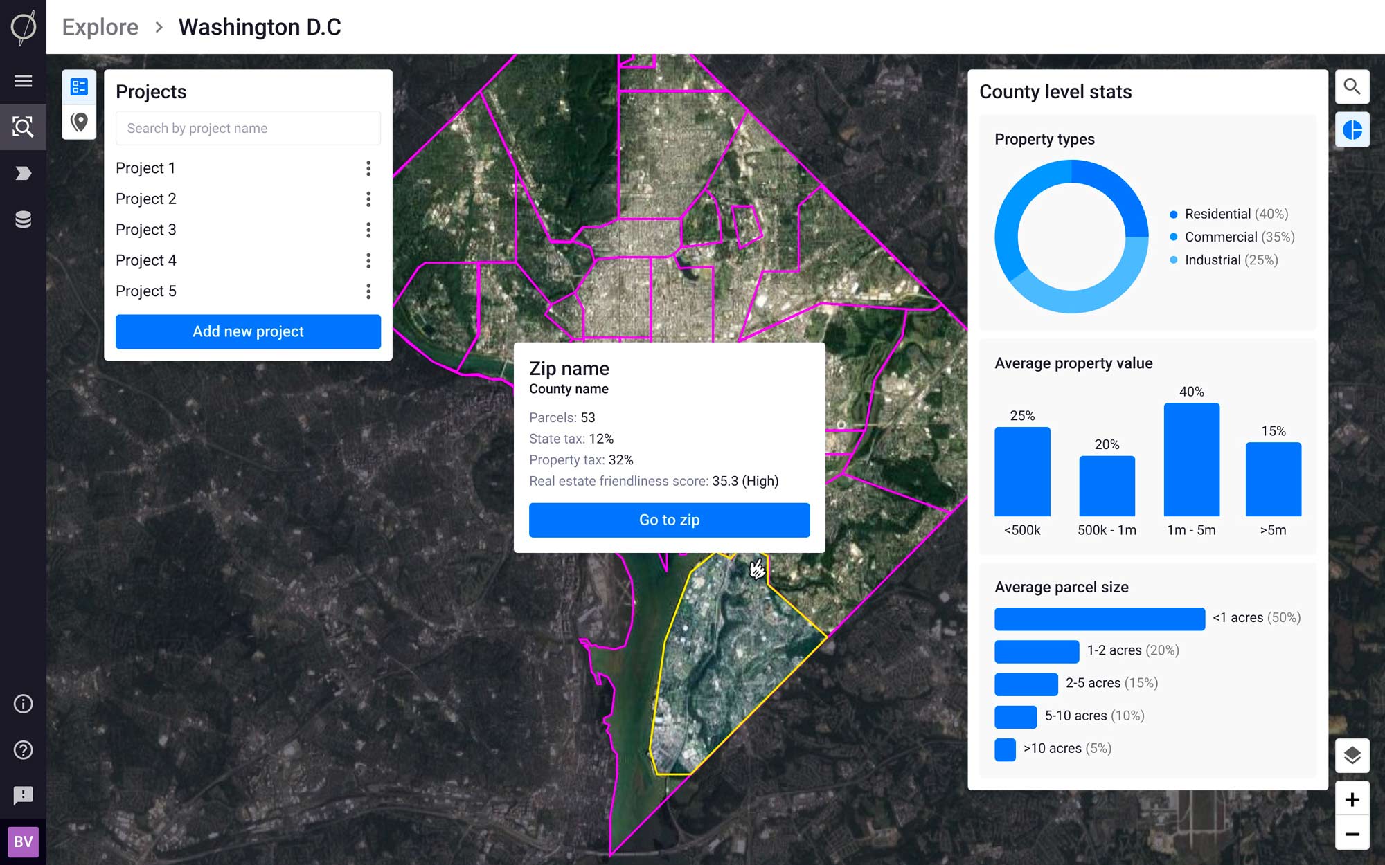
Because new images are available daily and stored long-term, users can see how an event is unfolding this week, or over a span of years. (Contributed photo)
We went in a different direction, which is we built an “application” platform – with all of the tools, algorithms and programming interfaces that a customer would need to build their own applications. Without getting too technical, this approach inspired us to build in a lot of flexibility and scalability into this platform, since we didn’t exactly know what customers wanted to build. We ended up building in pretty much anything and everything they might possibly need and we architected the platform to be enormously scalable, in the sense that it could handle any type of data and nearly any amount of data – insane amounts of data, you might say.
It turns out that this is an enormous advantage now because we – or our customers – can build incredibly powerful applications very, very quickly and at a fraction of the cost that would be required to build it from scratch.
Q. How can Astraea help companies make more informed business decisions?
A. We can provide insight that is simply impossible in scale or cost to achieve otherwise.
A great example is an application we developed recently to enable a state-level government agency to monitor more than 140 ongoing construction projects simultaneously from a desktop – with updated satellite imagery refreshing every day and the ability to order high-resolution imagery over any of the projects to be taken in the next 24 to 48 hours. The previous method was to send one of a group of four site inspectors to these projects for an on-the-ground inspection. That’s still done, but now those individuals can be deployed to the sites that require it based on the persistent view they’re getting from satellites. This will likely save them hundreds of thousands of dollars per year in inspection costs.
I’ll go back to the Google Earth analogy. Our platform is a bit like having a Google Earth, but one which you can ask any question of and it returns the answers: “Show me all of my active projects in these 10 states on a map and then let me know when each of them reach 50% completion.” Or, “Show me all of the new solar farms that have broken ground in the last 12 months in Virginia.” Or, “Sort all of the commercial and industrial building rooftops greater than 10,000 square feet in Richmond, which also have black membrane roofs suitable for solar installation.” There are quite literally thousands or even more of potential use cases.
It’s not quite as simple as a voice query to Siri or Alexa, but for a data scientist familiar with raster and imagery data, it’s about as easy.
Q. What courses do you teach, and what is it about teaching that you enjoy so much?
A. I’ve taught a few different courses over the years, but the one that’s been consistent has been Entrepreneurial Finance & Venture Capital Investing. I spent about 15 years in Silicon Valley investing in start-ups as a venture capitalist. I started at the bottom of the ladder as an analyst in a firm and eventually learned the business, changed firms and became a partner in a Trans-Atlantic Fund. I spent about eight years traveling between San Francisco and Europe investing in compelling early-stage startups in the U.K., France, Finland, Sweden, Ireland, Switzerland. I learned the venture business from the ground up, and in particular about the unique start-up culture that exists in the U.S. I try to take the students in the course through the same journey in 14 weeks.
I really enjoy taking complex and nuanced subjects and trying to find the most compelling, efficient way to convey them to people who are interested in them. To me, that’s teaching in a nutshell. This past semester was my 13th year and I love it on so many levels. I get to walk down the Lawn a couple of times a week – that never gets old. I get to interact with incredibly bright and motivated students who are really interested in venture capital, startups and entrepreneurial endeavors. Their enthusiasm keeps me motivated to stay on the cutting edge of all of this.