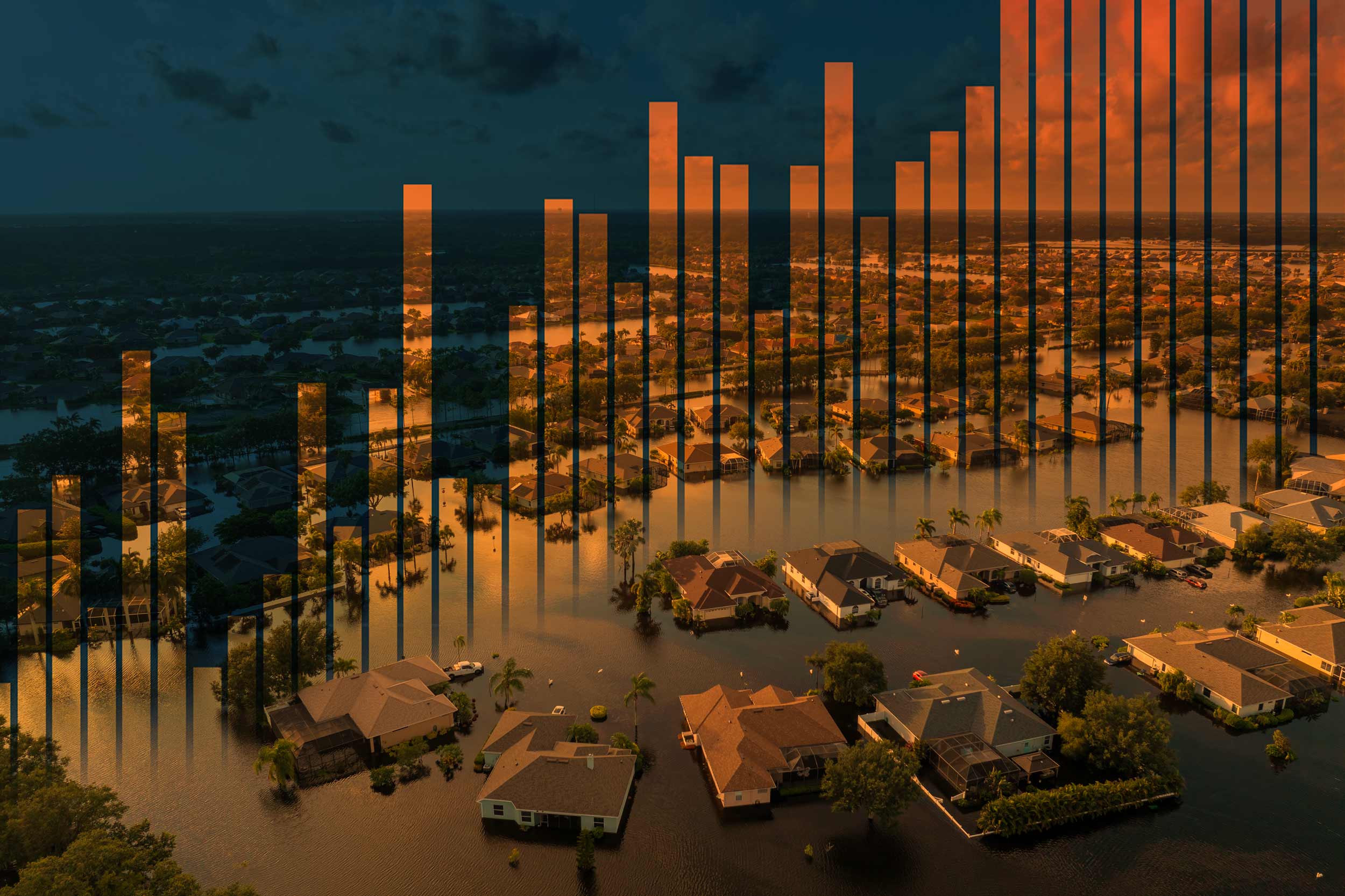
Earth reached its warmest year on record in 2024, according to data from the European Union’s Copernicus Climate Change Service, Europe’s leading environmental monitoring program.
The service found that last year was the first to exceed the 1.5 degrees Celsius (2.7 F) limit above the pre-industrial average set by the 2015 Paris Agreement, an international treaty that aims to reduce and roll back climate change.
“2023 was roughly 0.3 degrees Celsius (0.5 F) warmer than 2022,” said Kevin Grise, an associate professor of environmental sciences at the University of Virginia, “and 2024 continued that trend of being warmer than the previous year.”

Kevin Grise, an associate professor of environmental sciences at the University of Virginia, teaches a variety of weather-related classes, including Atmosphere and Weather, Introduction to Climatology and Atmospheric Dynamics. (Photo by Matt Riley, University Communications)
At UVA, Grise teaches a variety of weather-related classes, including Atmosphere and Weather, Introduction to Climatology, and Atmospheric Dynamics. His research looks for ways to accurately predict future weather events. Part of this research includes working with computer models that predict what should happen in a warming climate over the next few years based on current estimates.
“A key focus is trying to understand whether we can confidently say these models are capturing the weather pattern changes experts say are going to happen in our changing climate,” he said.
Grise’s research focuses on atmospheric dynamics and how wind circulation patterns change due to both natural cycles and climate change. In the 11 years he’s been at UVA, the world has warmed by approximately 0.5 degrees Celsius, about 0.9 degrees Fahrenheit.
Grise said Virginia can expect more heat waves as the climate continues to warm. What many people don’t realize, he said, is that much of warming’s impact happens at night.
“If people don’t have access to air conditioning, it becomes even harder for them to cool off on very warm nights,” he said.
…we saw (Hurricane) Milton hit Florida, which rapidly intensified within 24 hours…
The Earth’s warming is believed to be the cause of stronger hurricanes, more extreme rainfall events and changing weather patterns worldwide. Hurricane Beryl set a record for the earliest Category 5 storm to form in Atlantic history and was the strongest hurricane to develop in June. In the U.S., Phoenix witnessed 113 consecutive days with a temperature of at least 100 degrees Fahrenheit.
Between January and October, there were 24 weather/climate disaster events with losses exceeding $1 billion each affecting the United States – including 17 severe storms, four tropical cyclones, one wildfire and two winter storms – leading to at least 418 deaths, according to National Oceanic and Atmospheric Administration data.
Grise has also been paying close attention to ocean heat waves.
“We’ve seen some unusual events that have huge impacts on ecosystems in the ocean and tropical systems,” he said. “We saw the first ever Category 5 hurricane in the Atlantic basin in June, and we saw (Hurricane) Milton hit Florida, which rapidly intensified within 24 hours – an almost 95 mph intensification.”
In coastal regions like Hampton Roads, sea level rise is a concern, as is the potential for stronger hurricanes. “The hurricanes that do form have the potential to get stronger than we would expect because the water temperature is warmer,” Grise said. “The warmer air can have more water vapor in it, more humidity, and create even more extreme rainfall events.”
Warmer temperatures and more standing water are great for mosquitos. The conditions could create new habitats for insect-borne diseases to migrate, potentially spreading diseases such as malaria, dengue fever and chikungunya.


.jpg)


