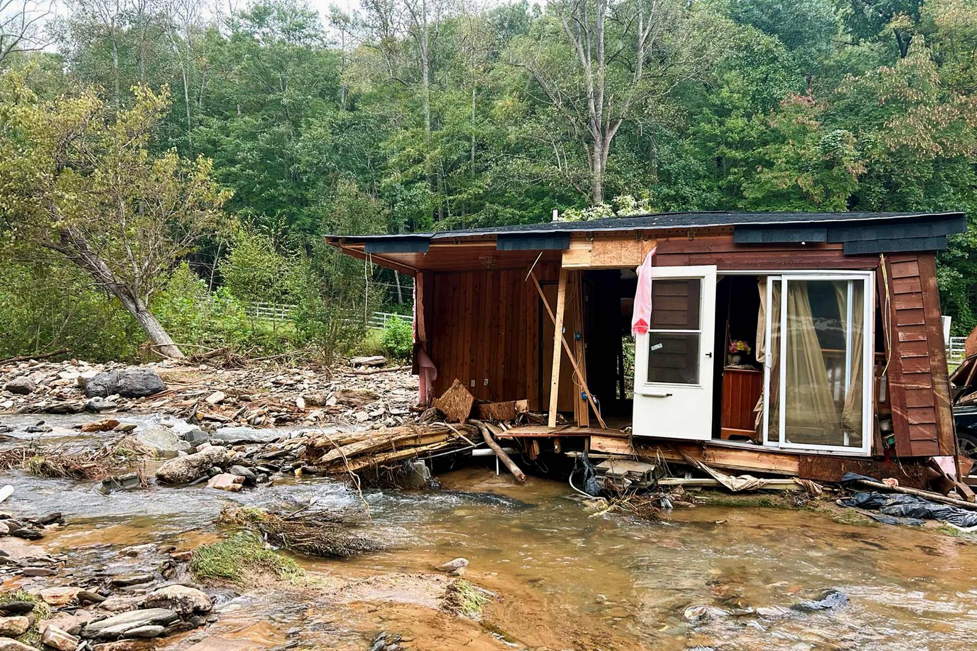
Taking architectural designs and mitigation strategies into account when rebuilding could help flood-ravaged areas of Appalachia in the future, but very little could have stopped the destruction Hurricane Helene wreaked, a University of Virginia architecture professor said.
“I know these mountain communities fairly well, and they have had flooding over the years, but the water level in Asheville was 25 feet,” said Suzanne Moomaw, an associate professor of urban and environmental planning and director of the Community Design Research Center at the UVA School of Architecture.

Governments and citizens need to be involved in plans to rebuild communities, says Suzanne Moomaw, associate professor and director of the Community Design Research Center at the UVA School of Architecture. (Photo by Tom Daly)
“The use of berms and creating some buffers could have helped, but that’s unpopular for blocking of views and that sort of thing,” she said. “But regardless, it’s hard to buffer for 25 feet of floodwater. Real hard.”
Just a week ago, Hurricane Helene interacted with a stationary cold front that had already dropped 4 or more inches of rain, raising many rivers to near flood stage, according to the North Carolina State University Climatology Office. Helene fed on that moisture and added her own, resulting in 33 inches of rain in three days on a mountaintop weather station in Yancey County, North Carolina, and 2 feet of rain on a station at Mount Mitchell.
Across the area, streams became rivers and creeks became torrents, pushing the French Broad River that runs through Asheville to a peak height of 24.67 feet. The cost in lost lives, lost livelihoods and property damage has not been determined.

With more than 2 feet of rain falling on nearby mountains, waterways through Old Fort, North Carolina, surged above flood stage, destroying homes and property. (Photo by Apex Fire Department)
“It was close to a worst-case scenario for western North Carolina, as seemingly limitless tropical moisture, enhanced by interactions with the high terrain, yielded some of the highest rainfall totals followed by some of the highest river levels, and the most severe flooding ever observed across the region,” the state climatology website states.
Moomaw said that as the region begins to rebuild, considering land use and architecturally sound mitigation methods could help with future storms and floods.


