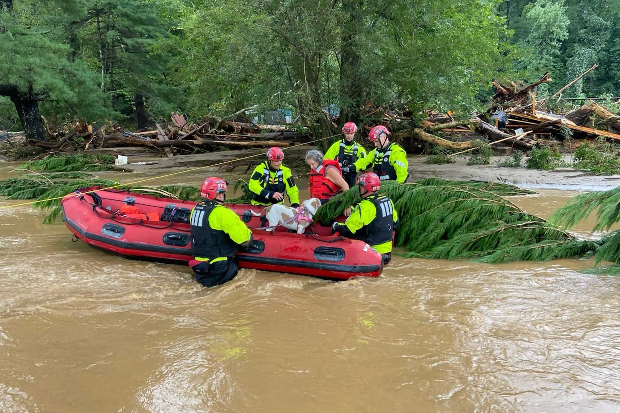
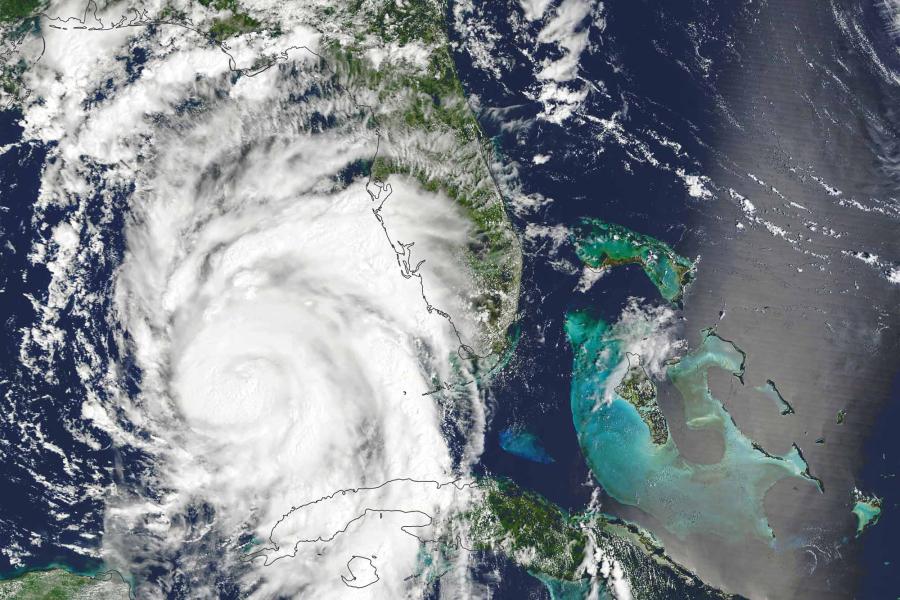
Across the Southeastern United States, hundreds of roads are closed, power outages continue to be reported and catastrophic flooding devastated mountain towns as the fallout from Hurricane Helene swept through parts of Georgia, the Carolinas and Virginia this weekend.
Majid Shafiee-Jood, a research assistant professor of civil and environmental engineering at the University of Virginia, discusses how and why this is happening. Shafiee-Jood researches decision-making based on hazardous weather information, including hurricane bulletins, flash-flood warnings and evacuation orders.
Q. Why are we seeing spinoff storms as a result of hurricanes further south?
A. Hurricanes are rapidly rotating storms systems with strong winds and a spiral arrangement of thunderstorms. Hurricanes typically contain massive amounts of moisture, which could lead to heavy rainfall. Depending on the size or speed of the storm, they can generate massive flooding. These are typically referred to as flash floods – flood events that occur in a short period after a storm, typically within six hours and often within three hours of the storm. This is different than flooding seen in coastal areas induced by storm surge, known as coastal flooding.
Flash floods happen because you have significant rainfall in one region in a short period of time. It can happen anywhere. In urban areas with significant development, it can happen because the rain doesn’t have much space to penetrate into the ground. In the mountainous areas with steep slopes, especially when soils are saturated, intense rainfall can rapidly turn into flash floods, which are sometimes accompanied by mudslides and landslides. That’s what we’re witnessing right now in western North Carolina and parts of Virginia.
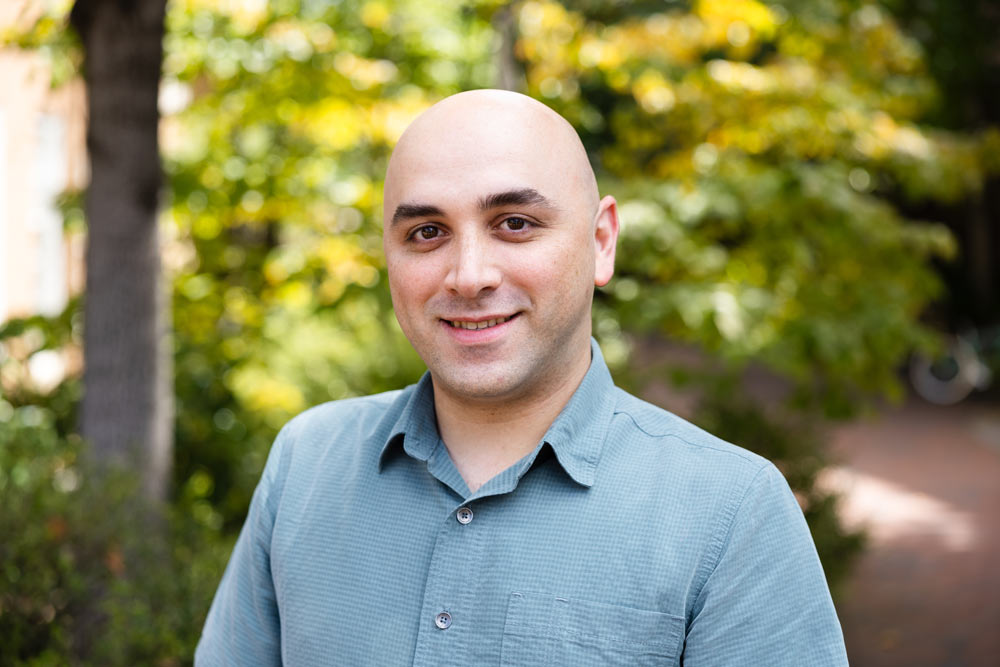
Majid Shafiee-Jood is a research assistant professor of civil and environmental engineering at the University of Virginia, where he also serves as director of graduate studies. (Contributed photo)
Q. Is this normal?
A. It’s not unusual. Back in 2018, when Hurricane Michael happened, we had similar landfall in the Florida panhandle area that moved northward toward Georgia and the Carolinas. There’s a small dam called Banister Dam in Halifax County, which nearly overtopped because of the significant amount of rainfall produced by then-Tropical Storm Michael.
Q. You created the first-ever hurricane evacuation order database. How does it work?
A. One of my main areas of research is understanding how individuals and decision-makers make decisions when they receive hazardous weather information. For instance, in the case of Hurricane Helene, a couple of days before the hurricane made landfall, several Florida counties issued evacuation orders. Over the past few days, many of us in Charlottesville area received flash flood watch and warning messages on our cell phones. The question is how we respond to this information when the stakes are so high.
Fellow assistant professor Negin Alemazkoor; Harsh Anand, former UVA Engineering doctoral candidate; and I wanted to understand how effective hurricane evacuation orders are. Let’s say the Emergency Management Office in Virginia issues a hurricane evacuation order; to what extent do people evacuate based on that information?
We were interested to quantify that, then realized we needed a database of hurricane evacuation orders, looking at which counties and states issued evacuation orders, when, and what areas they covered.
